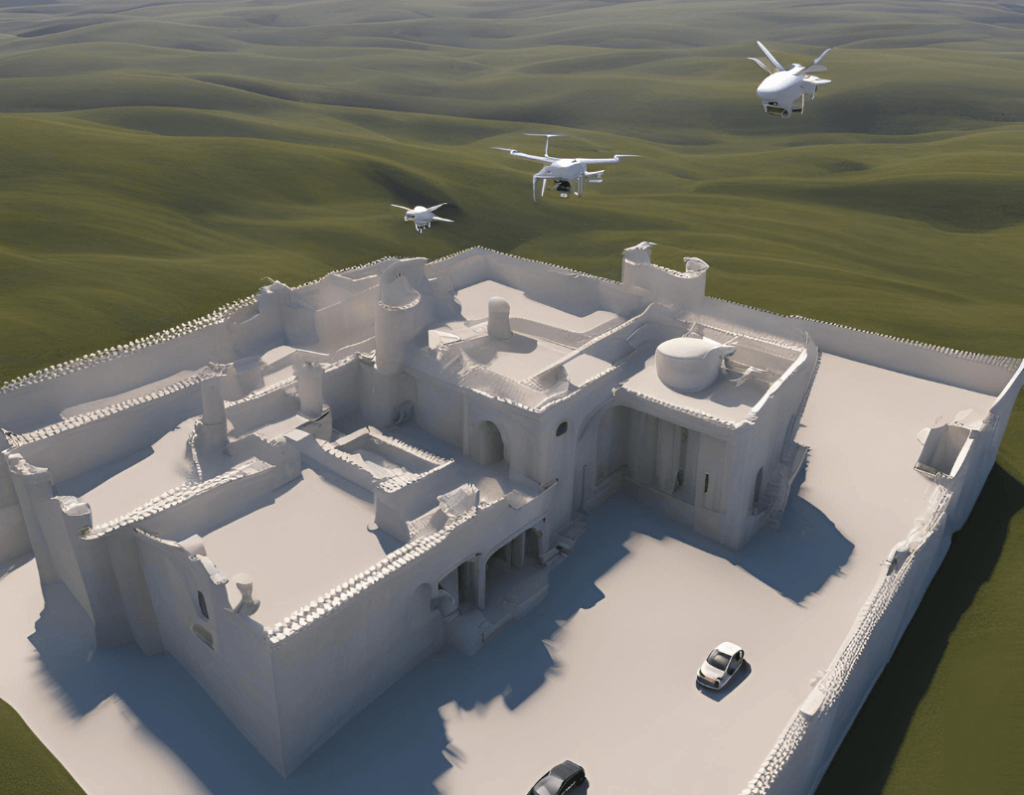
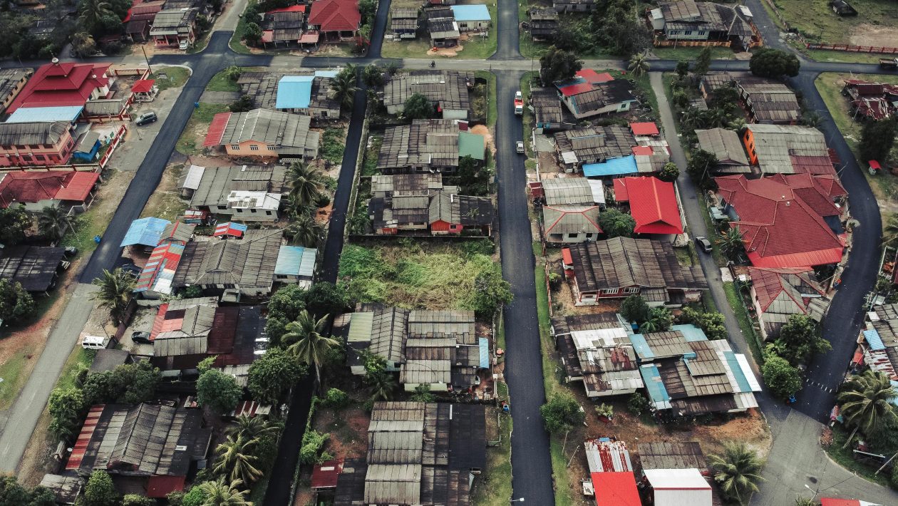
Drone 3D modeling has transformed the way we capture and represent physical environments. This innovative technology combines the versatility of drones with advanced imaging and processing techniques to create detailed, accurate 3D models of various landscapes, structures, and objects. As we delve into this ultimate guide, we’ll explore the exciting world of drone 3D mapping and its wide-ranging applications across industries.
Understanding Drone 3D Mapping
Drone 3D modeling, also known as photogrammetry, is the process of creating three-dimensional models from multiple 2D images captured by a drone. This technique involves:
- Image Capture: A drone equipped with a high-resolution camera flies over the area of interest, taking hundreds or thousands of overlapping photos.
- Data Processing: Specialized software analyzes these images, identifying common points to stitch them together.
- 3D Model Generation: The software uses the analyzed data to create a detailed 3D model of the surveyed area.
The result is a highly accurate digital representation of the physical world, which can be used for various purposes, from construction planning to environmental monitoring.
Applications of Drone 3D Modeling
The versatility of drone-based 3D modeling has led to its adoption across numerous industries:
- Construction and Architecture
- Site planning and progress monitoring
- Building inspections and maintenance
- Architectural visualization
- Agriculture
- Crop health assessment
- Terrain mapping for precision agriculture
- Irrigation planning
- Real Estate and Property Management
- Virtual property tours
- Land surveying and property line demarcation
- Asset valuation
- Environmental Conservation
- Forest inventory and management
- Coastal erosion monitoring
- Wildlife habitat mapping
- Mining and Quarrying
- Volumetric calculations of stockpiles
- Site planning and expansion
- Safety inspections
- Disaster Management and Emergency Response
- Damage assessment after natural disasters
- Search and rescue operations
- Flood modeling and prediction
Techniques for Effective Drone 3D Modeling
To create accurate and useful 3D models using drones, consider these key techniques:
- Flight Planning: Develop a comprehensive flight plan that ensures complete coverage of the area with sufficient overlap between images.
- Proper Camera Settings: Adjust camera settings for optimal image quality, considering factors like ISO, shutter speed, and aperture.
- Ground Control Points (GCPs): Use GCPs to improve the accuracy of your 3D model by providing known reference points.
- Multiple Angles: Capture images from various angles and altitudes to ensure comprehensive coverage of the subject.
- Consistent Lighting: Try to maintain consistent lighting conditions throughout the image capture process for better results.
- Post-Processing: Use advanced software tools to refine and enhance your 3D models after initial generation.
How to Use a Drone for 3D Modeling
Follow these steps to use a drone for 3D modeling:
- Choose the Right Equipment: Select a drone with a high-quality camera and stable flight characteristics. Popular options include the DJI Phantom 4 RTK or the Autel EVO II Pro.
- Plan Your Flight: Use flight planning software like Pix4Dcapture or DroneDeploy to create an efficient flight path.
- Set Up Ground Control Points: Place and survey GCPs for improved accuracy.
- Conduct the Flight: Execute your planned flight, ensuring the drone captures all necessary images.
- Process the Data: Use photogrammetry software like Pix4Dmapper or Agisoft Metashape to process your images and generate the 3D model.
- Refine and Export: Clean up your 3D model and export it in the desired format for your specific application.
Creating a 3D Model with a Drone

To create a high-quality 3D model with a drone:
- Prepare the Site: Clear the area of any unnecessary objects and set up GCPs if needed.
- Configure Camera Settings: Set your camera to manual mode, adjusting ISO, shutter speed, and aperture for optimal image quality.
- Execute the Flight Plan: Fly your drone according to the pre-planned route, ensuring consistent altitude and speed.
- Capture Oblique Images: In addition to nadir (straight down) images, capture oblique images at 45-degree angles for better detail on vertical surfaces.
- Process Images: Import your images into photogrammetry software and begin the processing.
- Generate Point Cloud: Create a dense point cloud from your images, which forms the basis of your 3D model.
- Create Mesh and Texture: Generate a mesh from the point cloud and apply textures from your original images.
- Refine and Export: Clean up any artifacts, fill holes, and export your model in the desired format (e.g., OBJ, FBX, or PLY).
Challenges and Solutions in Drone 3D Modeling
While drone-based 3D modeling offers numerous advantages, it also comes with challenges:
- Weather Conditions: Strong winds or poor lighting can affect image quality. Solution: Plan flights during optimal weather conditions and use drones with wind resistance capabilities.
- Legal Restrictions: Drone flights may be restricted in certain areas. Solution: Always check local regulations and obtain necessary permits before flying.
- Large Data Sets: Processing thousands of high-resolution images requires significant computational power. Solution: Use cloud-based processing services or invest in powerful hardware.
- Reflective or Moving Surfaces: Water bodies or moving objects can create issues in 3D reconstruction. Solution: Use specialized algorithms or manual editing to address problematic areas.
- Battery Life Limitations: Limited flight times can restrict coverage of large areas. Solution: Use drones with longer battery life or plan multiple flights with battery swaps.
Future of Drone 3D Modeling
The future of drone-based 3D modeling looks promising, with several exciting developments on the horizon:
- AI and Machine Learning Integration: Enhanced automation in flight planning and model generation.
- Improved Sensors: LiDAR and multispectral sensors for more detailed and accurate 3D models.
- Real-Time 3D Modeling: On-board processing for instant 3D model generation during flight.
- Integration with Other Technologies: Combining drone 3D modeling with AR/VR for immersive visualizations.
- Miniaturization: Smaller, more portable drones capable of accessing confined spaces.
Conclusion
Drone 3D modeling has revolutionized how we capture and represent the world around us. From construction and agriculture to environmental conservation and emergency response, this technology offers unprecedented insights and capabilities. As you embark on your journey into drone 3D mapping, remember that success lies in careful planning, proper technique, and continuous learning.
We encourage you to explore the various applications and techniques discussed in this guide. Whether you’re a professional surveyor, a hobbyist, or simply curious about this exciting technology, drone-based 3D modeling opens up a world of possibilities. Share your experiences and questions in the comments below, and let’s continue to push the boundaries of what’s possible with drone 3D modeling!
